


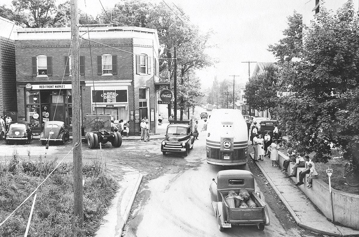
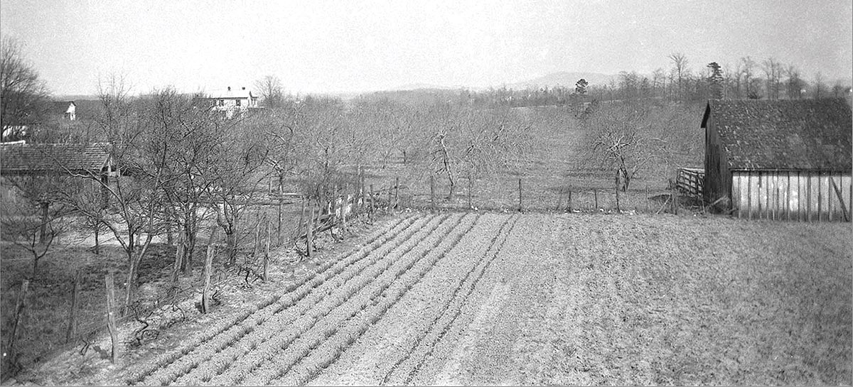
 Abram Wayland’s Pleasant Green home and farm, c.1901. During Crozet’s first quarter-century of growth, orchards of apples and peaches replaced earlier fields of tobacco. At 50 years of age, in 1926, its stellar reputation as a major producer of quality fruit was near its peak. The small town’s prosperity was obvious. Courtesy David Wayland.
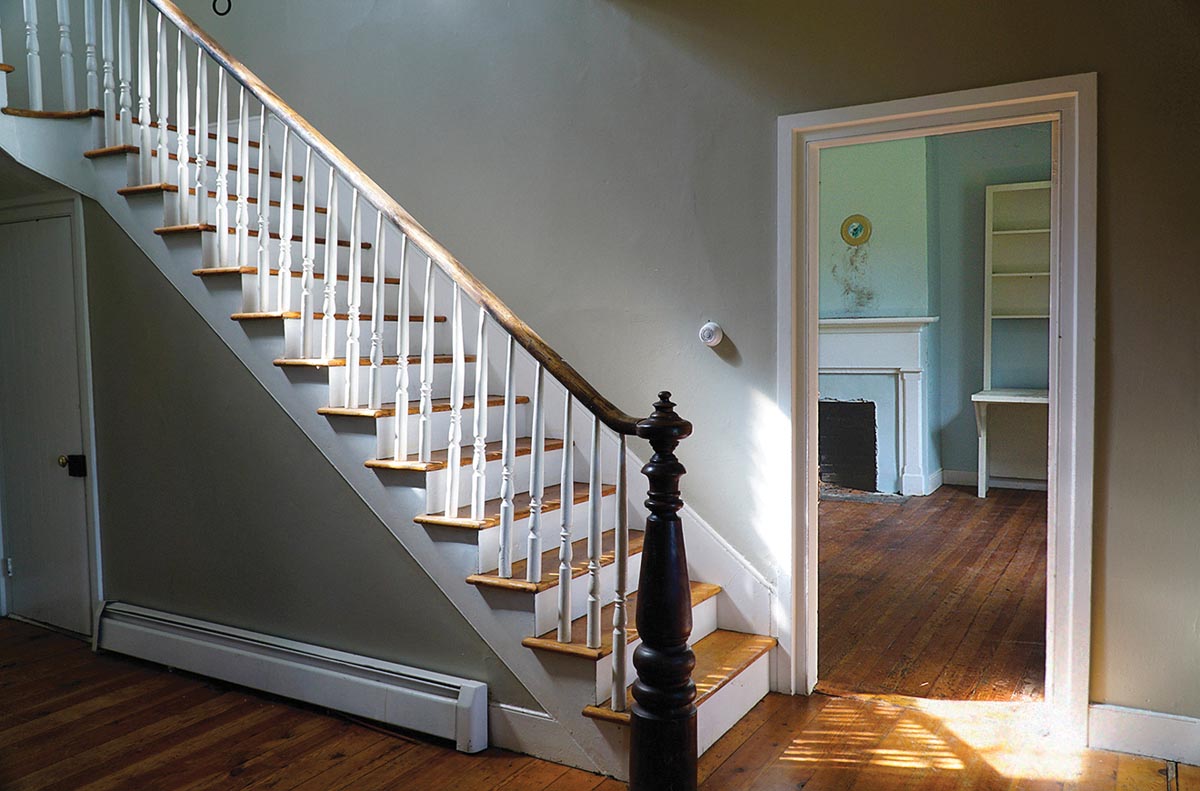 A view across the foyer in the former home of Jeremiah Wayland (1786–1887), Pleasant Green, at Crozet. The room at the foot of the stairs was occupied, in 1849, by Claudius Crozet, then chief engineer for the Blue Ridge Railroad Company. Crozet and his engineering assistants boarded with Wayland during preliminary preparations for the boring of the mountain tunnels. Photo by Phil James.
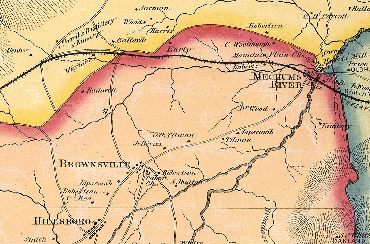 Green Peyton’s Map of Albemarle Co., VA, was published in 1875, just prior to the naming of the village of Crozet in June 1876. Map detail shows the greater neighborhood surrounding that soon-to-be C&O Railway “Freight Station and Flag Station for Passengers… with Mr. Abram Wayland, as agent.” Courtesy U.S. Library of Congress, Map Division.
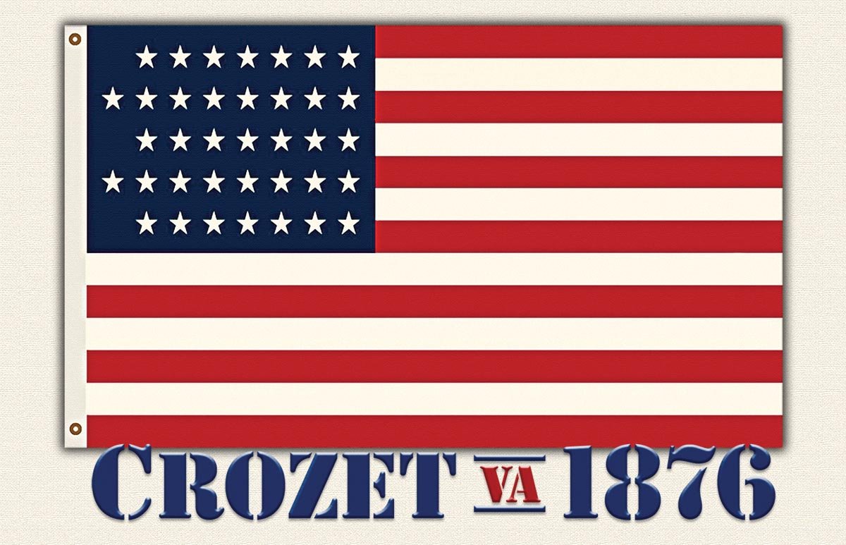 Williams C. Wickham, vice-president of the Chesapeake and Ohio Railroad, 1869–1878, during disputes regarding the naming of that railroad’s newest flag stop in June 1876, replied “that the name would be Crozet or nothing.” The first flag to fly above the fledgling village displayed 37 stars, a pattern adopted July 4, 1867, with the admission of Nebraska to the Union. Graphic by Phil James.
Follow Secrets of the Blue Ridge on Facebook! Phil James invites contact from those who would share recollections and old photographs of life along the
Blue Ridge Mountains of Albemarle County, Virginia. You may respond to him at phil@crozetgazette.com. Secrets of the Blue Ridge © 2003–2026 Phil James


